
Geography Card File Instructions and Free Printables
The purpose of this post is to help you prepare the Geography Card Files for your class. This post is part of the European Geography and Cultures Series. Please the Introductory Post for a list of countries covered with links to all of the blog posts of this series.
Disclosure: I was not compensated for this post. I am an affiliate of Amazon, and will receive a small commission if a link on this page is used to make a purchase.
General Instructions for Card Files
Items Needed for Week 2 lesson plan:
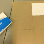
- 3” x 5” or 4” x 6” white and colored index cards (pre-punched with hole in corner)
- 3” x 5” or 4” x 6” cardboard rectangles (pre-punched with hole in corner)
- Book rings (1-3/4” or 2” size)
- World Map card file pages (see below)
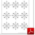
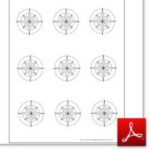
- Compass Rose card file pages (see below)
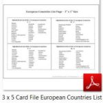
- List of European Countries card file pages (see below)
- Sharpies or letter stickers
- Pencils and Colored pencils
- Glue sticks
- Laminator and laminating sheets (optional)
Instructions For Front and Back Cover Cards
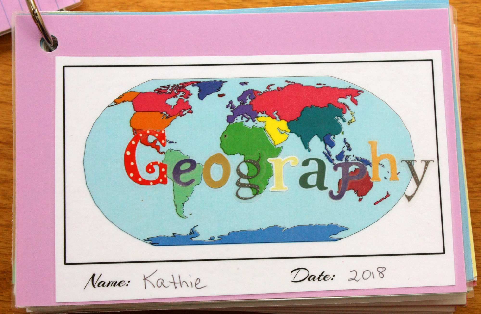
Front Cover: Write name and date, write “Geography” or “Europe” with Sharpie or use letter stickers over the world map. Glue on front of a colored index card.
Label compass rose and color if desired. Glue on back of Front Cover Card. Laminate when glue is dry.
Back Cover: Use 3” x 5” or 4” x 6” cardboard rectangle for back cover.
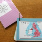
Flag and Map Cards
Color the map. Choose the flag or map to be your “Cover Page” for this country. Trim pages so that the flag and map fit on a colored index card, then glue, one on each side. Be careful not to cover up the hole.
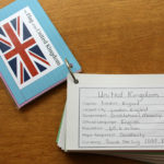
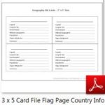
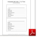
General Country Information Card
Fill out the information on the general information card for the country you are studying. Search on the internet for the current population. Cut this out and glue to the front of an index card. On the back of the index card, write in your own words about something you learned about the country.
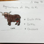
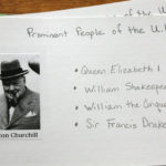
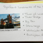
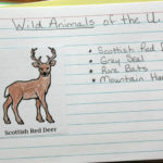
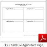
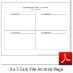
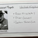
Category Cards
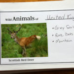
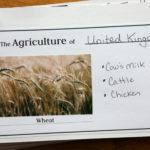
Write the category and country name in the upper right-hand corner of the card (or use pre-printed cards – scroll down to download the free printables). Cut out images for each of the categories you are studying. Leave room to write on the card next to the image. Be careful not to cover up the hole.
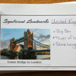
On each card, write additional information as you learn it. For example, on the Wild Animals card, next to the picture, write other wild animals that are common in the U.K.
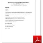
These General Instructions are included in the PDF file below along with the Summary, Class Structure, Weeks 1 & 2 Lesson Plans, and Resource Checklists.
Click on the thumbnail below and open the PDF file in Adobe Reader to read and print. If you open in a browser window, the text may be garbled. You may share this online and use the image above without permission, but please have all links point to this blog post, not to the PDF file. Thanks!
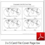
Free Printable Card File Pages
Although two sizes are available (3” x 5” or 4” x 6”) for many of the pages, the flags and country maps are only available in the 3″ x 5″ size. If you are using a 4” x 6” size index card file, print the flags and maps on regular paper, then have your students glue them on the index cards.
Note: I made the Category Cards below before I knew how many students would be in my class. My original thought was to print the 4 x 6 sizes out on card stock and cut them out. This proved to be too much work for the number of students. I then thought I could provide the students with the 3 x 5 size on regular paper, and they could glue it on the 4 x 6 plain index cards. I eventually decided to have them hand write the titles on plain index cards. I’m hoping that someone will be able to use the printables below for their students!
Printable images as seen in the pictures above are available in the post for each country. See Introductory Post for list of countries and links to blog posts.
There are a few ways to make your Geography Card File:
- Print the 4″ x 6″ card pages or the 3″ x 5″ card pages on card stock, cut out, punch hole in corner, and insert in book ring.
- Print the 3″ x 5″ card pages on regular printer paper. Cut out and glue on 4 x 6 index cards. Since I have so many kids in my coop class, this is how I am having them make their Cover Card, Map Cards, Flag Cards, and Country Information cards.
- Use regular index cards for the Category Cards (i.e. don’t print out any pages past the Country Information page below). Hand write titles on the index cards. Since I have so many kids in my coop class, this is how I am having them make their Category Cards.
Click on the thumbnails below and open the PDF file in Adobe Reader to read and print. If you open in a browser window, the text may be garbled. You may share this online and use the images without permission, but please have all links point to this blog post, not to the PDF file. Thanks!
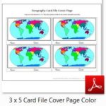
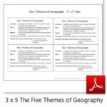
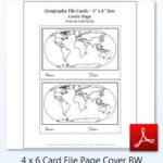
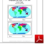
3″ x 5″ Cover Page (B&W or Color) – Country Information – Compass Rose (Labeled or Unlabeled) – List of European Countries – The Five Themes of Geography:
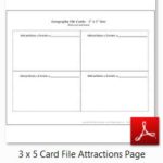
3″ x 5″ Agriculture – Animals – Attractions:
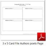
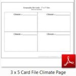
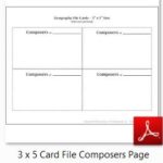
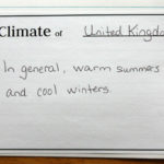
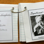
3″ x 5″ Authors & Poets – Climate – Composers:
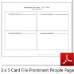
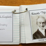
3″ x 5″ Landmarks – Missionaries – Prominent People:


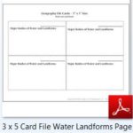
3″ x 5″ Landforms & Water Bodies:
4″ x 6″ Cover Page (B&W or Color) – Compass Rose (Labeled or Unlabeled) – Country Information:
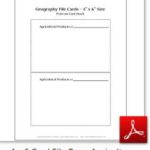
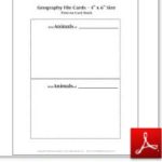
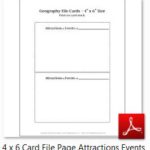
4″ x 6″ Agriculture – Animals – Attractions & Events:
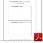
4 x 6″ Authors & Poets – Climate – Composers:
4 x 6″ Landmarks – Missionaries – Prominent People
4 x 6″ Scientists
Please let me know if there are any broken links, and I will fix them as soon as possible. Also, feel free to comment below with your recommendations – I appreciate your ideas and suggestions!
Copyright 2018 Kathryn Depew
Disclosure: I was not compensated for this post. I am an affiliate of Amazon, and will receive a small commission if a link on this page is used to make a purchase.
Leave a Reply