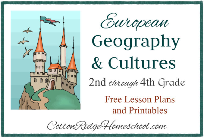
European Geography Lesson Plan 1 ~ World
This post is part of the European Geography and Cultures Series. Please the Introductory Post for a list of countries covered with links to all of the blog posts of this series.
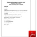
You can download the Summary, Class Structure, Weeks 1 & 2 Lesson Plans, and Checklists as a PDF file.
Click on the thumbnail below and open the PDF file in Adobe Reader to read and print. If you open in a browser window, the text may be garbled. You may share this online and use the image above without permission, but please have all links point to this blog post, not to the PDF file. Thanks!
Disclosure: I was not compensated for this post. I am an affiliate of Amazon, and will receive a small commission if a link on this page is used to make a purchase.
Introduction
1. Welcome, introduce teachers, and review class rules.
2. Introduce the Five Themes of Geography. We are going to be learning the following about the countries in Europe:
• Location: Longitude and latitude; or where a place is located in relation to another place.
• Place: Physical characteristics such as animal, plants and landforms; also languages, buildings, food, and transportation created by humans.
• Region: An area of the world that has certain characteristics in common.
• Movement: How people and ideas get from one place to another.
• Human-Environment Interaction: How humans and the environment affect one another.
If you wish, you can read more here about the Five Themes of Geography.
Maps Lesson
1. Read Maps & Globes pages 12 – 20.
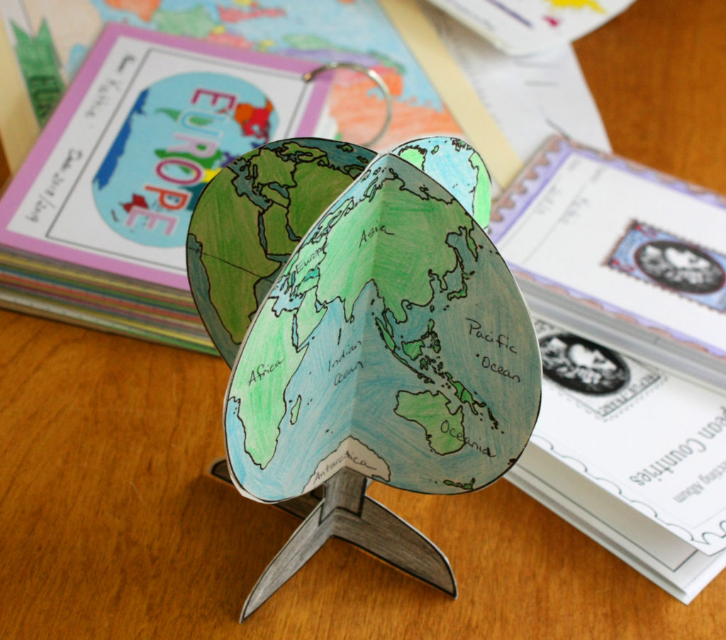
• Kids color Globe Craftivity pages while listening. (This download costs $3.50 at Teachers Pay Teachers.)
• Try to finish coloring the pages and cut out the globes. Have students write their names on the base of one of their globes. Turn in unfinished pages at end of class to complete next week.
2. Continents Games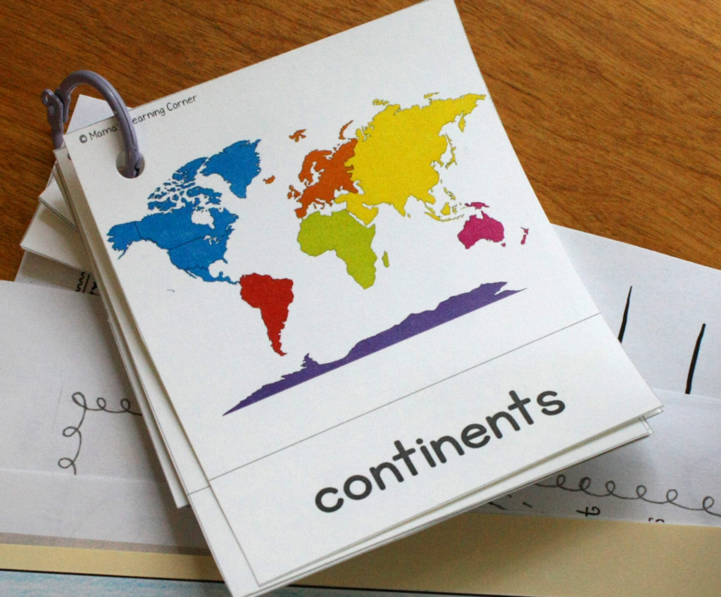
• See Mama’s Learning Corner for free printables, games and instructions.
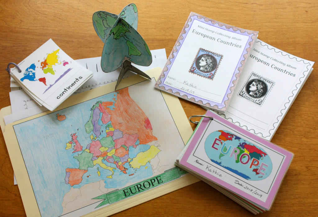
Folders and Mini Stamp Albums
(Click here for instructions and printables for these items.)
1. Color each country on folder map as we learn about it. Color oceans when they have extra time. Click here to print the Map of Europe for the front of the folder.
2. Pass out hinges and postage stamps; instruct them on how to use the hinges and mount the stamps. (For this week, choose stamps from countries you won’t be covering in class.)
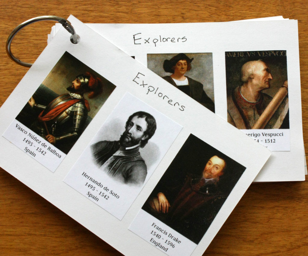
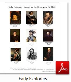
Early Explorers
If you are studying early world explorers in your class, here is a free printable you may find useful.
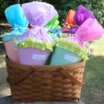
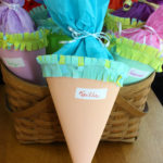
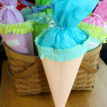
Distribute Schultuete Gift Cones
If you would like to give out these cute cones to your students during the first day of class instead of during the Germany lesson plan, please click here for instructions (link coming soon).
Checklist
- Globe
- Maps & Globes book
- Globe Craftivity pages – 2 for each student
- Continents Game Cards and Instructions
- Folders for each student with map of Europe on front
- Mini Stamp Collecting Albums, stamps, hinges for each student
- School supplies tote (colored pencils, scissors, glue, tape, etc.)
- Sample of completed Globe Craftivity
- Schultuete Gift Cones (if not distributing during Germany Lesson Plan)
Please comment below with questions or comments – I will respond as soon as possible! Thank you for visiting my blog!
Copyright 2018 Kathryn Depew
Disclosure: I was not compensated for this post. I am an affiliate of Amazon, and will receive a small commission if a link on this page is used to make a purchase.
Leave a Reply